Troon · Carwynnen · Camborne · Cornwall
This is about more than what has happened underground.
It is about the people, families, animals and natural environment living above it. A responsible community does not ignore repeated concerns about changing water, ground stability, fallen trees, wildlife, noise or vibration. It listens, investigates and ensures that those carrying out potentially harmful activity understand and take responsibility for their wider impact.
Following an initial geological review, legitimate questions now require independent investigation. Could repeated underground activity be interacting with historic mine workings, fractures, groundwater pathways or unstable ground? If an impact zone is identified, the consequences could extend beyond the mine boundary and potentially affect human health, drinking water, streams, pets, livestock, wildlife, homes, insurance and property values. None of these outcomes should be assumed without evidence—but neither should they be dismissed without proper testing, transparent records and accountable expert assessment.
Caring for the community means finding out what has changed, who may be affected and what must now be done to protect people, property and the land for the future.
 Ecology & Trees FirstWildlife register and the woodland failure cluster — the leading indicators
 Explore What We KnowTen years of dated observations in one chronology
 See the EvidenceReports, records and source documents
 Explore the Underground MapLayered map of observations, water and workings
 Report What You Have SeenStructured public observation survey
 Public Interest InvestigationHuman health · Air · Water · Land · Public access · Wildlife · Safety
 Airsoft, Explosives & HealthWhat is known and what needs testing about site activity and exposure
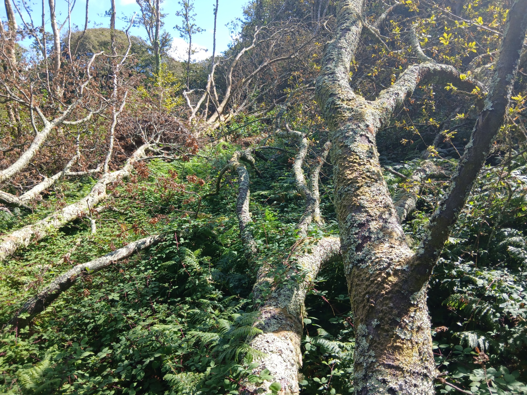
Above: mature trees down across the woodland slope in the X-area, photographed 20 August 2026. Reported observation — the cause of these failures has not been established.
Visual evidence
What the evidence looks like
A cross-section of the photographic and documentary material held in the investigation reports: tree failure and root plates, mine-water staining, BGS geological mapping and the operator's own facility description. Each image carries its source and evidence tier.
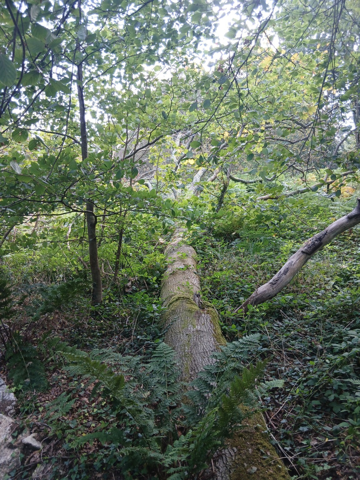
Field survey — multiple down stems (20 Aug 2026)
Lichen-covered stems down across the slope with browned foliage still attached on some limbs, and green standing canopy behind.
Source: Community field photograph, X-area, 20 August 2026
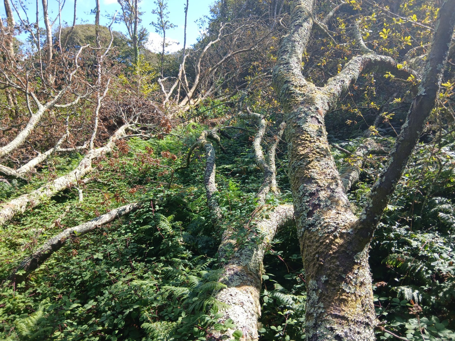
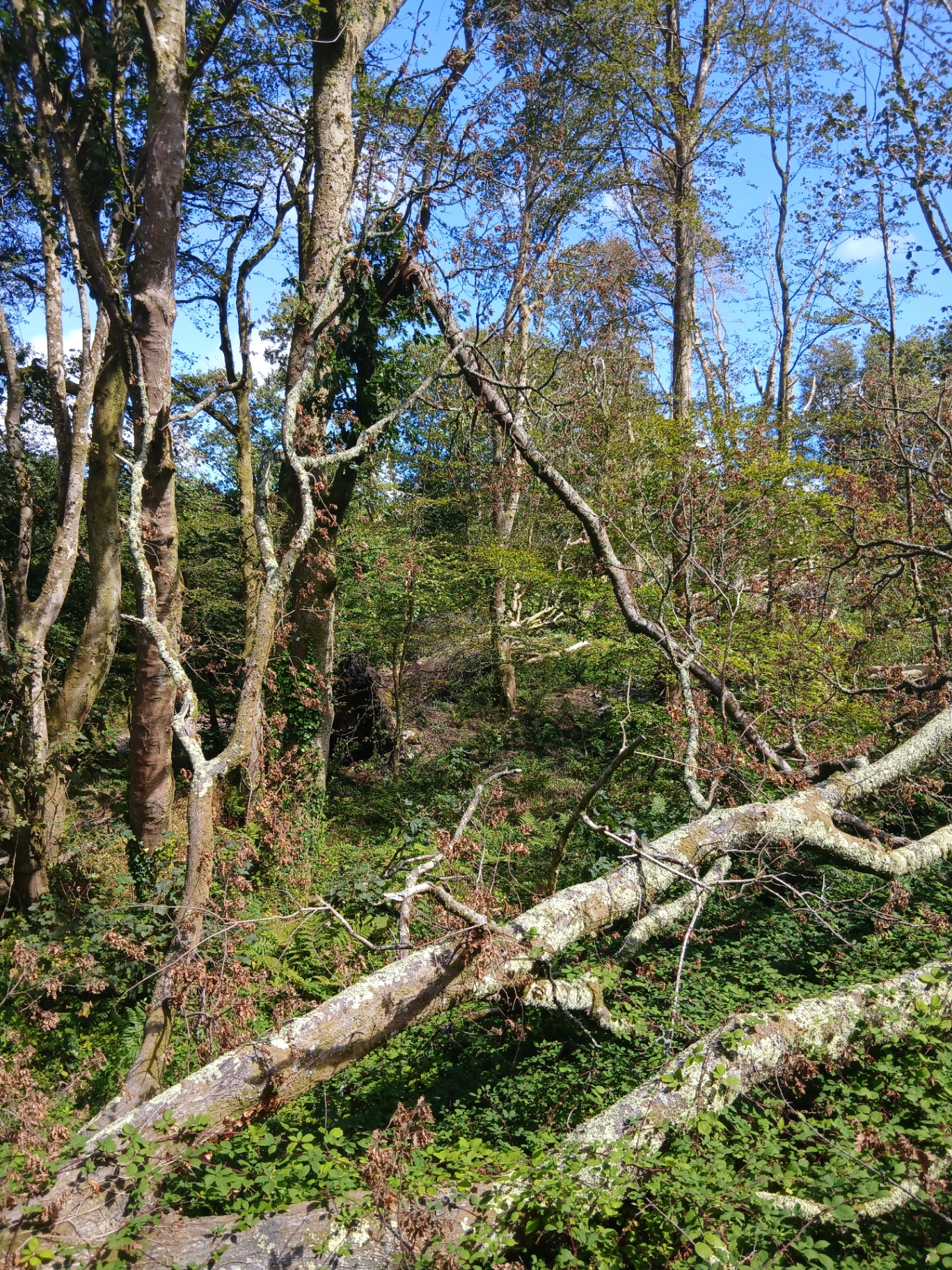
Failure cluster with standing survivors
A group of failures with apparently unaffected mature trees immediately adjacent.
What this does and does not show: Clustering with unaffected neighbours is the observation the investigation is built around. Storm loading alone would not be expected to produce a tight cluster; nor does a cluster by itself establish any particular cause.
Source: X-area tree-failure photographic schedule (Appendix B)
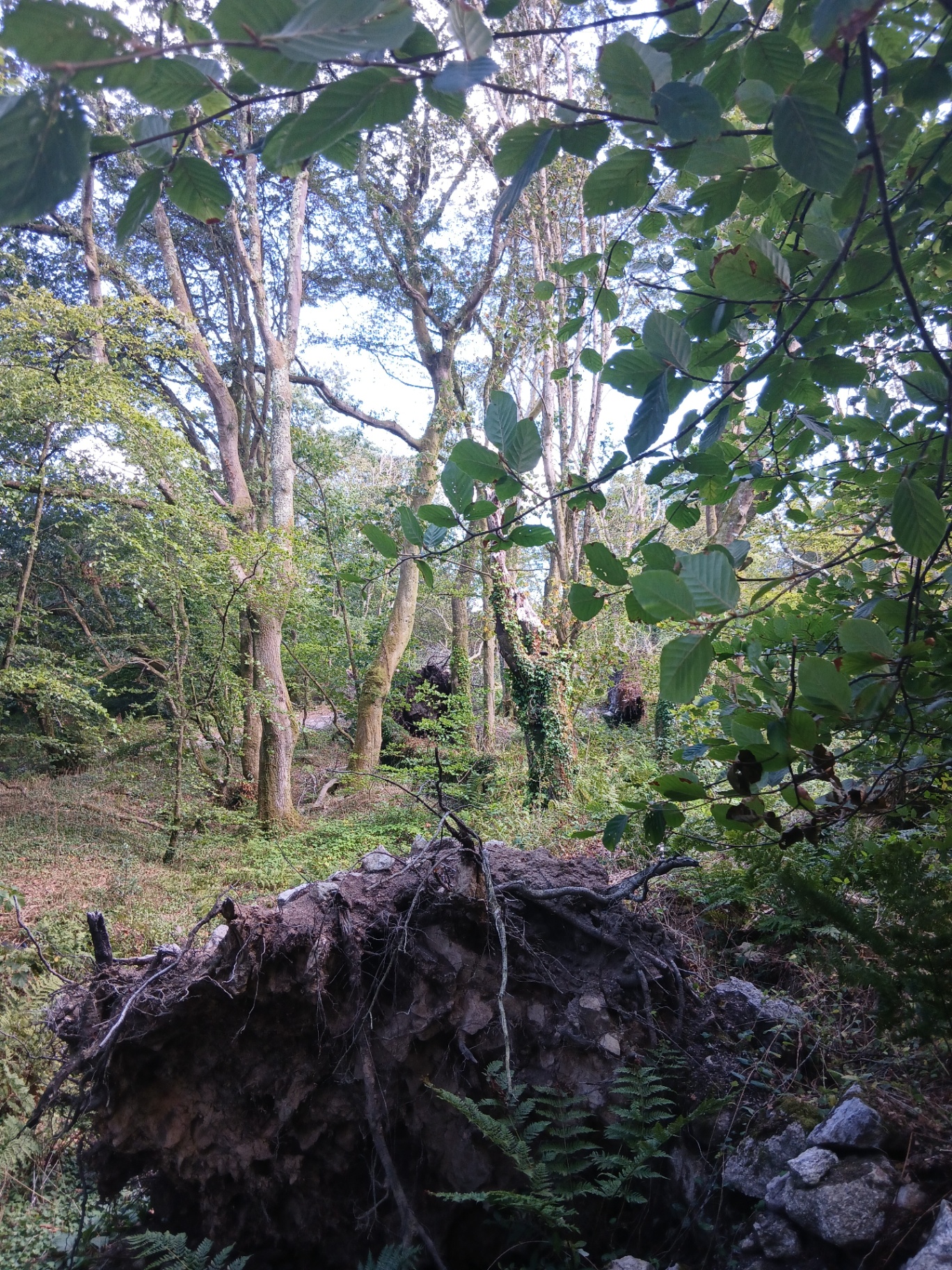
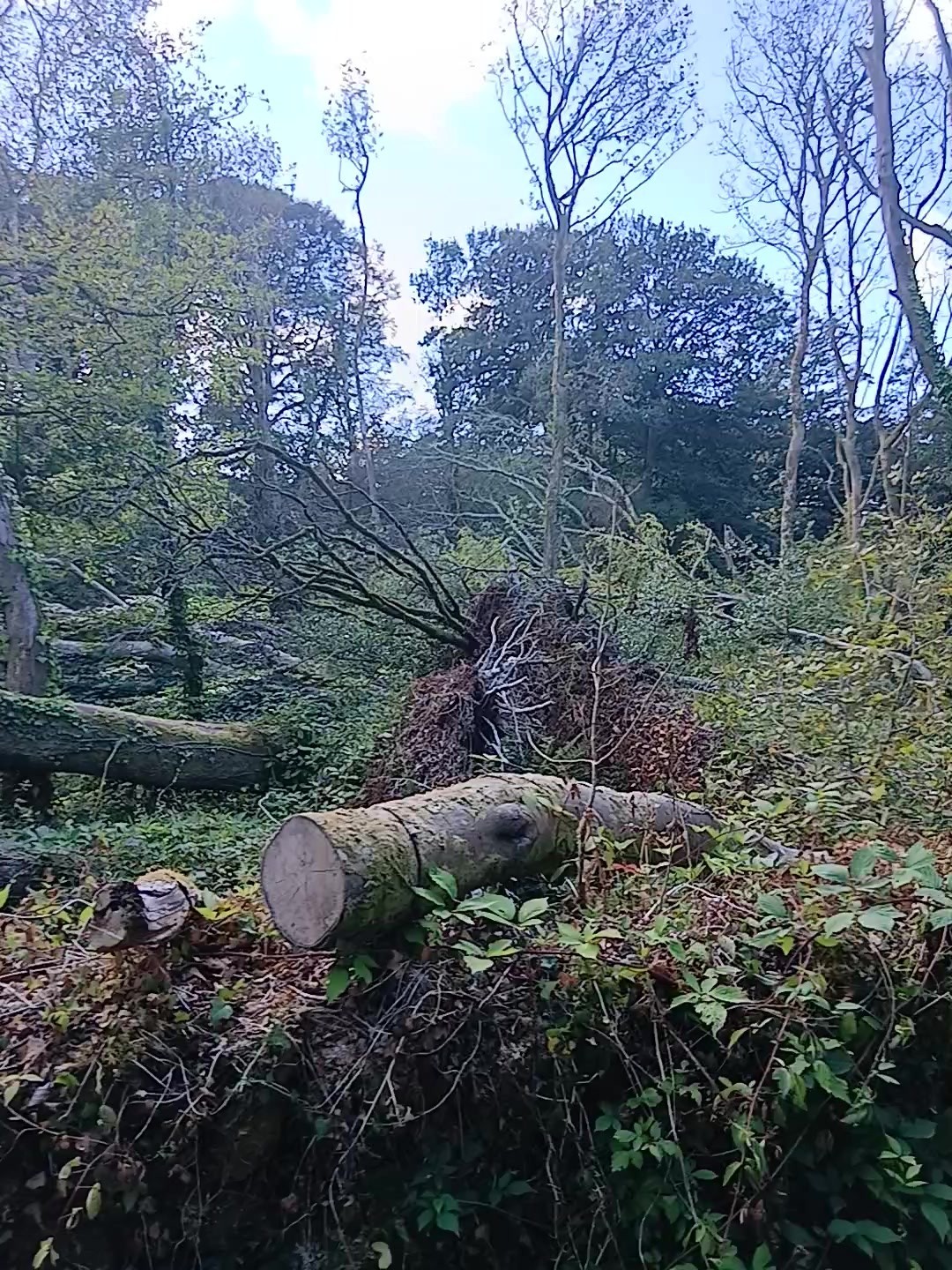
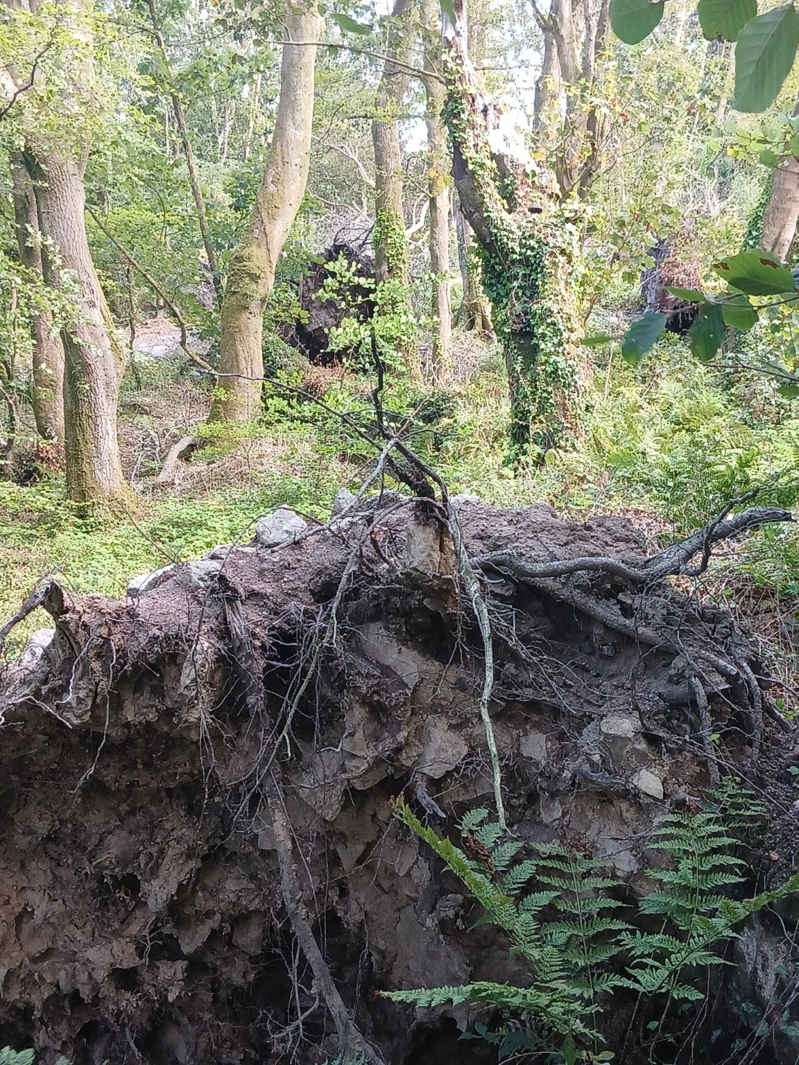
Field survey — root plate and hollow (20 Aug 2026)
Large upturned root plate holding soil and stone, with an open hollow behind it and further failures visible in the background.
Source: Community field photograph, X-area, 20 August 2026
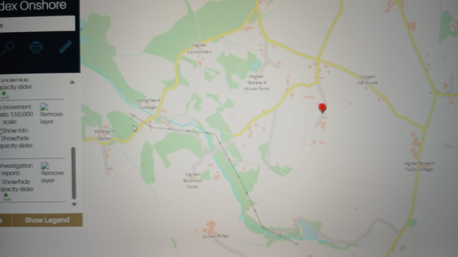
BGS GeoIndex Onshore — Carwynnen sheet
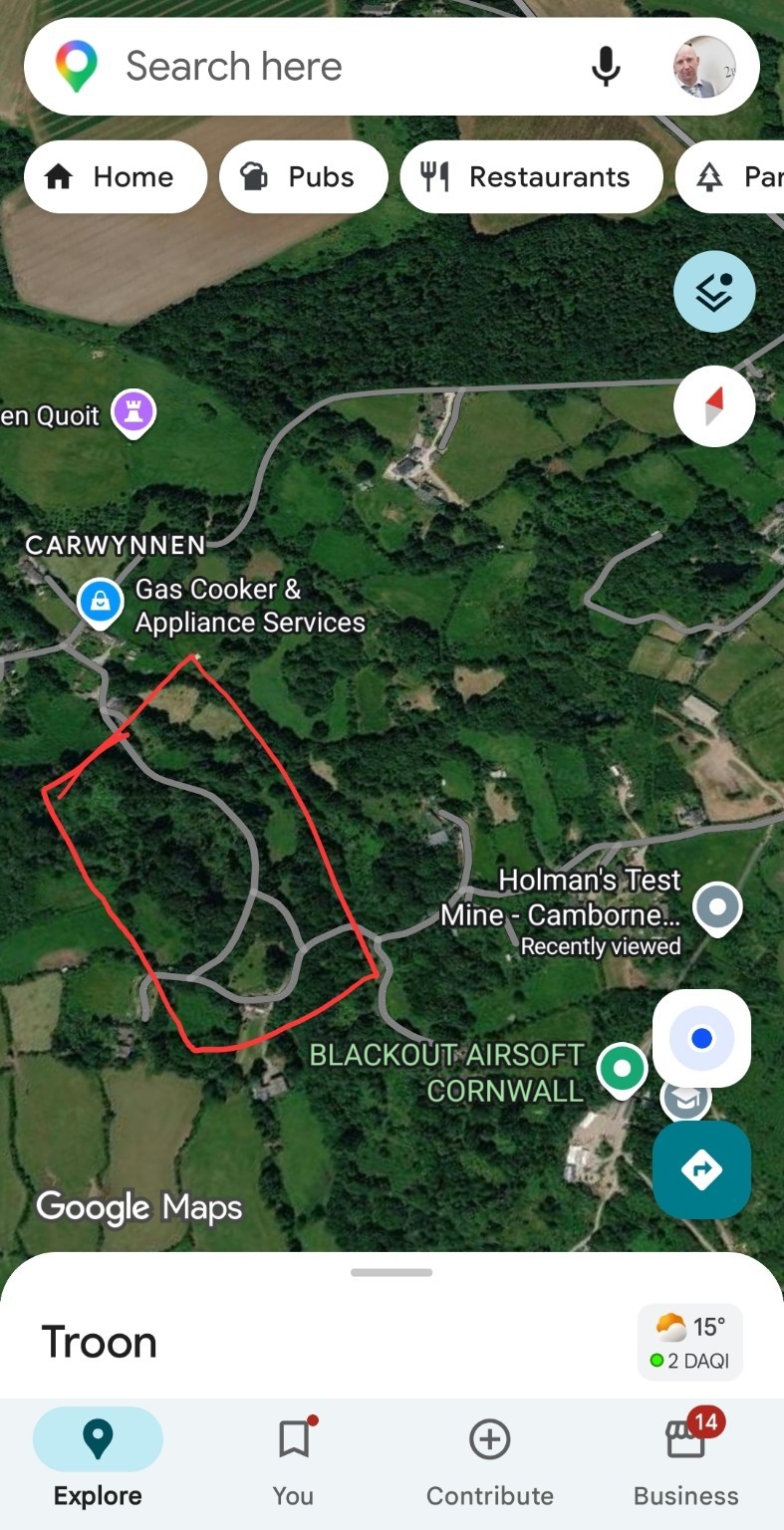
British Geological Survey GeoIndex Onshore viewer centred on the Carwynnen / Higher Bodrivial area, with mass-movement deposits and site investigation report layers enabled. The red pin marks the reference location used in the report.
What this does and does not show: A black cross-marked line runs north-west to south-east across this extract. It is a mapped linear geological feature — a reported weak fracture / structural lineament corridor. It is now shown as an optional layer on the environmental map. Its position on this website is traced from the screen capture and is indicative only.
Source: BGS GeoIndex screen capture, reproduced in the BGS geology & hydrogeology report
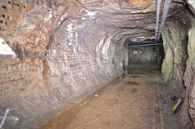
Underground tunnel, granite host rock
Photograph of an underground excavation in granite with a graded floor and a side chamber opening. The operator states excavations are predominantly in igneous intrusive granite with some minor mineral veins.
Source: Operator-published material reproduced in the master dossier
Interactive evidence
Troon mine impact map
An independently prepared interactive impact map of the area, embedded here for comparison with this project's own layered environmental map. Pan and zoom to explore it.
This is a third-party interactive map hosted externally and embedded as supplied. Its content has not been independently verified by this project and is shown as contributed material. Open the impact map in a new tab · or explore this project's own layered evidence map.
Wildlife value
Why the ecology comes first
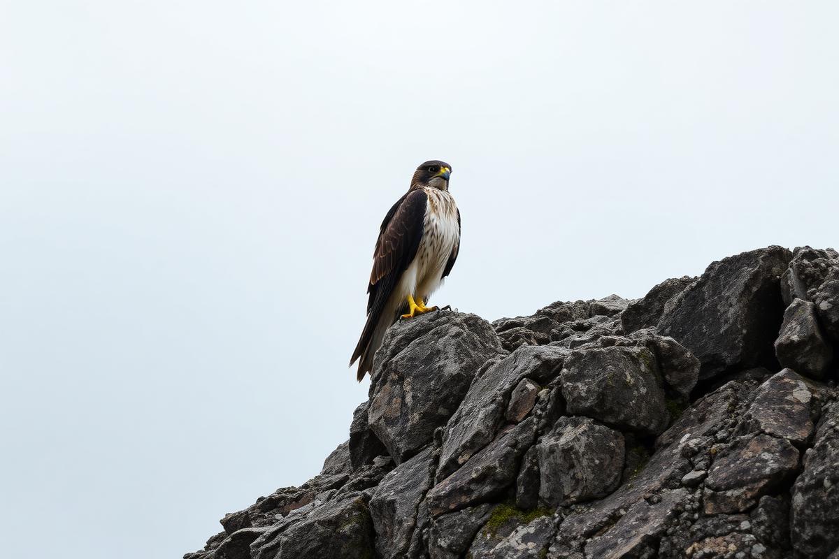
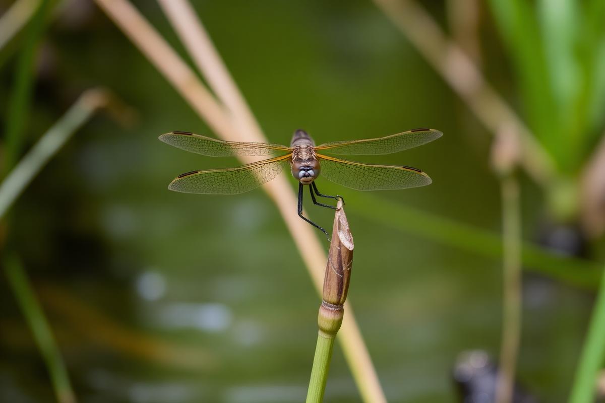
Bats in the old workings, dormice in the hedges, badgers in the banks, otters and dragonflies on the water, peregrines and canopy birds in the high-point oaks, and the farm livestock that drink from the same ground. Living things record change earlier than any single water sample, and most of them are protected by law.


Agencies, regulators and representatives
Who this evidence goes to
Reports and requests from this project are directed to statutory regulators, local councils, wildlife bodies, MPs and town councillors. Click through for the full directory, contact routes and issue-to-agency routing matrix.
View all 44 agencies & stakeholders
See the full directory, contact routes, regulatory roles and the issue-to-agency routing matrix.
The core principle of this website
Every statement is labelled
Nothing on this site is presented as proven unless it is. Each claim, observation and mechanism carries one of four labels, applied consistently across every page, map marker, timeline entry and document record.
Established through primary documents, public records, laboratory evidence or independently verified material.
Reported by residents, landowners, witnesses or site observers but not yet independently established.
A scientific mechanism which independent experts should test.
There is presently insufficient evidence to reach a conclusion.
Where the work is focused
Six purposes
Preserve evidence
Collect and organise environmental evidence with original metadata intact so it remains usable by regulators and experts.
Explain the area
Set out the land, geology, historic mine workings, water systems and ecology of the Troon and Carwynnen landscape.
Record reported change
Log environmental changes reported by local people — including reports of no change at all.
Structured public survey
Allow residents, landowners and land users to submit observations in a consistent, non-leading format.
Identify the questions
Set out precisely what requires independent professional investigation, and by which discipline.
Provide an open repository
Give regulators, scientists and journalists accessible primary material rather than assertions.
Worked example of the method
How the same subject is handled at four levels
Tree failure in the X-Area woodland shows how the labelling works in practice.
The Troon, Carwynnen and Camborne area lies within a historically mined granite terrain containing recorded shafts, adits and shallow workings. This is established by public geological and mining records.
Landowners and site observers report a comparatively concentrated cluster of mature tree failures in an area of woodland west/south-west of the facility, several with exposed root plates.
A storm may act as the trigger for tree failure while pre-existing root-zone or ground conditions determine why failures concentrate in one location. This is testable by arboricultural and geotechnical survey.
Whether any activity at any particular facility has contributed to these tree failures. No independent evidence presently establishes this either way.
The purpose of this project
Why this site exists
Something does not have to be proven before it deserves to be investigated.
There are reported changes affecting parts of the land, water, woodland and ground around Troon and Carwynnen. Some facts are already documented. Some observations remain unverified. Several scientifically credible mechanisms have been identified.
The responsible next step is independent evidence gathering, professional investigation and transparent regulatory scrutiny. The purpose of this project is to make that possible.