Landscape context
Pendarves Wood and the Wider Landscape
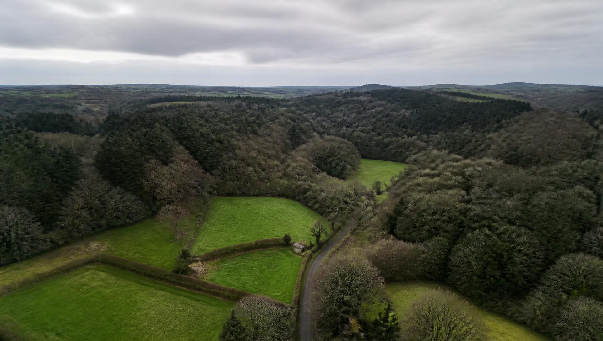
Woodland in this part of Cornwall does not exist as isolated blocks. It is a connected system of woods, hedgerows, lanes, streams and old mine ground, and it functions as one.
Landscape imagery
Reserve and landscape context
Material establishing the protected and managed nature-conservation setting of the wider landscape.
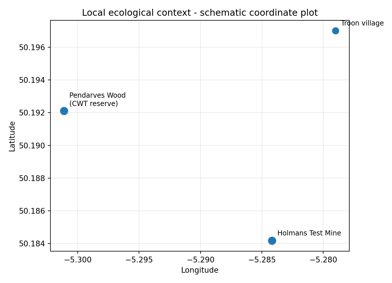
Local ecological context plot
Schematic coordinate plot showing the relative positions of Pendarves Wood (Cornwall Wildlife Trust reserve), Troon village and Holmans Test Mine.
Source: Wildlife & ecology impact report, figure
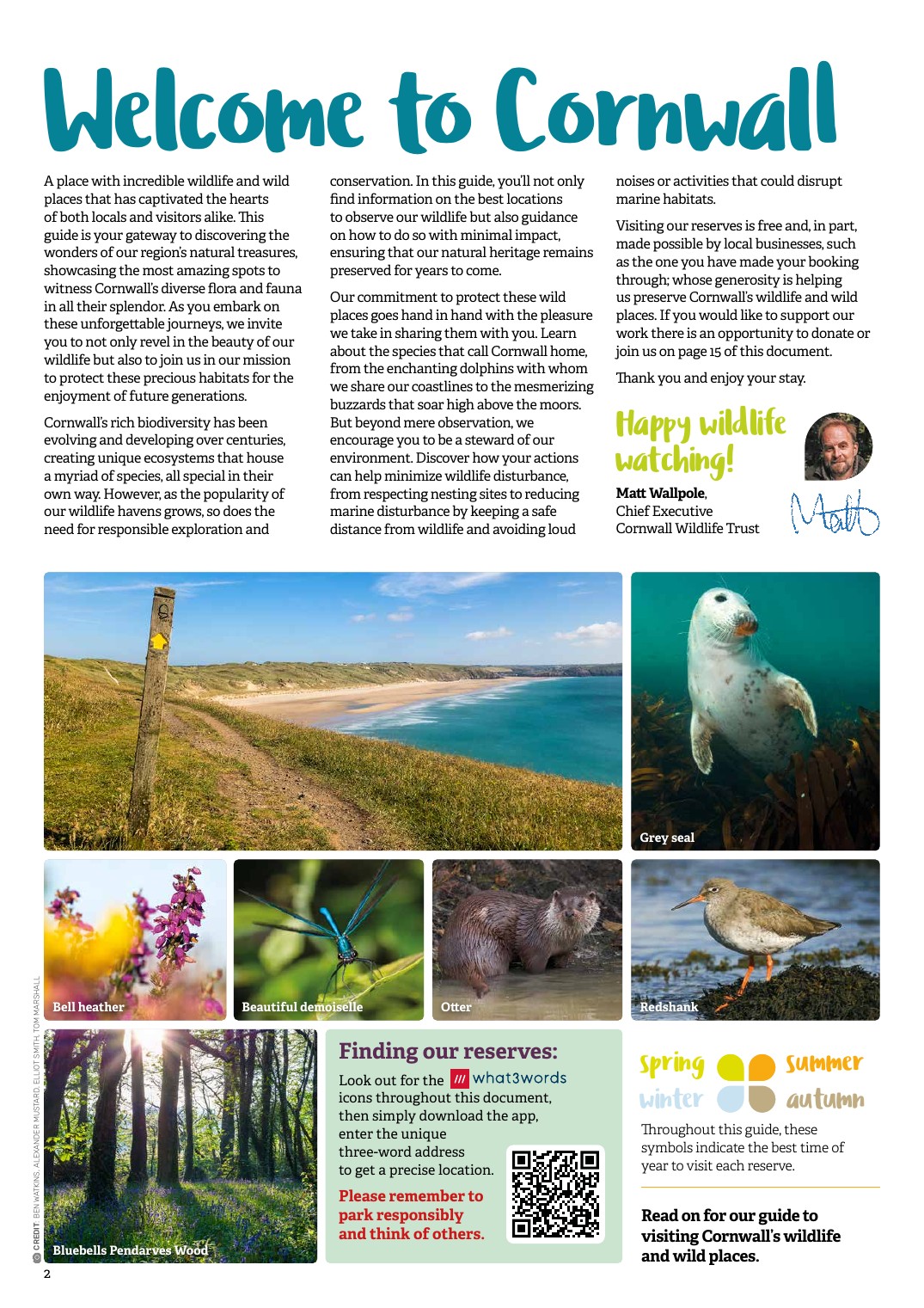
Cornwall Wildlife Trust reserve material
Published Cornwall Wildlife Trust reserve material used to establish the protected and managed nature-conservation context of the wider area.
Source: Cornwall Wildlife Trust published visitor material
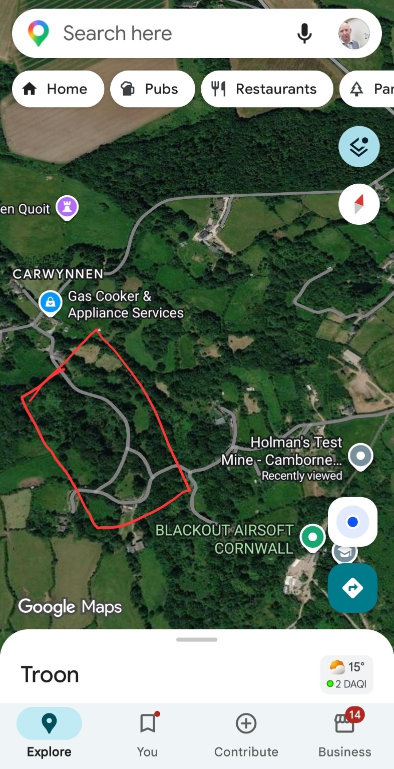
Community-defined investigation outline
Satellite mapping of Carwynnen with a hand-drawn outline around the woodland block west of the facility. This is the community-defined investigation area and is not a surveyed or legal boundary.
Source: Community-supplied annotated mapping, reproduced in the master dossier
The reserve
Pendarves Wood
Pendarves Wood, south of Camborne, is a nature reserve managed by Cornwall Wildlife Trust. It is a remnant of the historic Pendarves estate parkland and contains mature broadleaved woodland, veteran trees, a lake and wetland margins.
It is a well-known local asset for bats, breeding birds, woodland flora and invertebrates, and it is one of the closest sites in the area with an existing body of ecological recording. That existing record is valuable to this project: where an area already has data, change can be detected.
Pendarves is included here as landscape context and as a potential source of comparison and control data. Nothing on this page asserts that the reserve has been affected by anything.
Connected features across the study area
- Pendarves Wood nature reserve
- The X-Area woodland near Carwynnen
- Cornish hedges linking woodland blocks
- Field ponds and wet flushes
- Streams draining towards the Red River catchment
- Spring lines and seepages
- Historic mining ground and spoil
- Lanes, verges and green corridors
Comparison sites
The value of a control landscape
Without somewhere to compare against, no observation can be shown to be unusual. Establishing controls is one of the cheapest and most valuable things this project can do.
Similar woodland, different setting
Woodland of comparable species mix, age and exposure, away from the investigation area, gives a baseline for tree condition and failure rates.
Similar catchment, different inputs
Streams draining comparable granite and mining ground provide the context needed to interpret any water chemistry result.
Existing recorded sites
Places such as Pendarves, where records already exist, allow change over time to be assessed rather than merely asserted.
Evidence status
Landscape: where this stands
A connected habitat network exists
The woodland, hedgerow and watercourse network of the district is documented in Ordnance Survey mapping, habitat inventories and Cornwall Wildlife Trust records.
Any change at Pendarves
This project holds no evidence of any environmental change at Pendarves Wood, and makes no suggestion that any has occurred.