The area
The Land We Are Protecting
A working Cornish landscape of woodland, small fields, streams and springs, sitting above one of the most intensively mined granite terrains in Britain.
Area imagery
Mapping the investigation area
Community-defined mapping and subsurface reference points for the land under investigation.
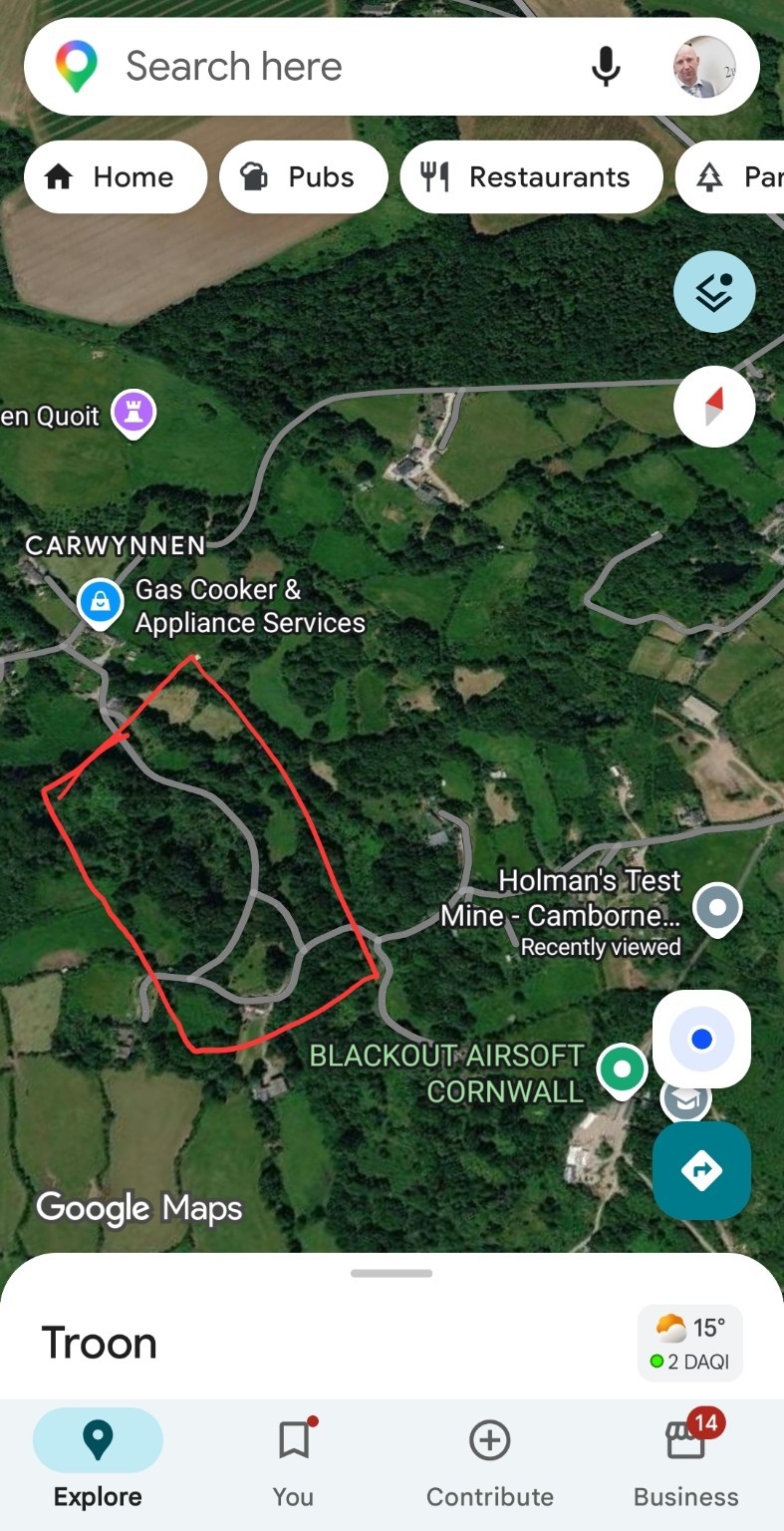
Community-defined investigation outline
Satellite mapping of Carwynnen with a hand-drawn outline around the woodland block west of the facility. This is the community-defined investigation area and is not a surveyed or legal boundary.
Source: Community-supplied annotated mapping, reproduced in the master dossier
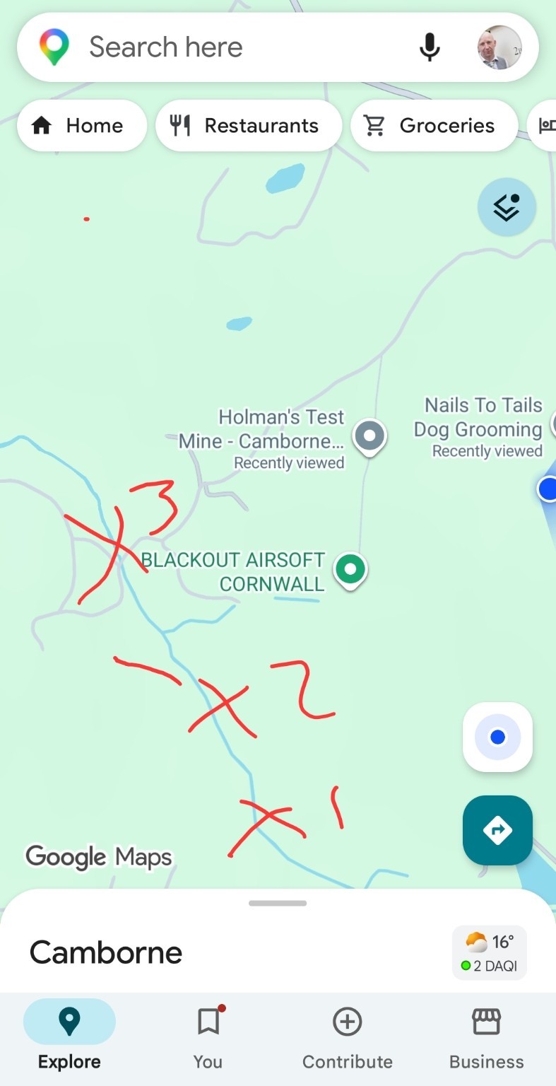
Reported X1–X3 corridor annotation
Mapping annotated by hand with points marked X1, X2 and X3 forming a corridor between the Carwynnen woodland and the facility area.
What this does and does not show: The X1–X3 marks are a reported corridor of interest, not measured sampling stations. Their purpose is to tell surveyors where to look first, not to assert that anything has been found.
Source: Community-supplied annotated mapping, reproduced in the master dossier
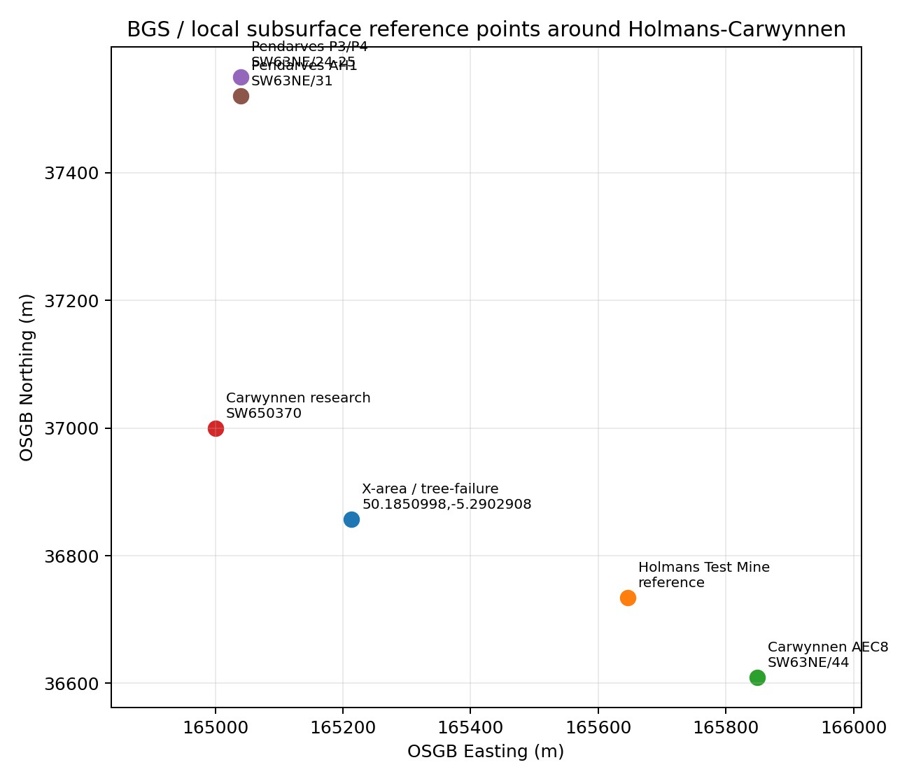
Local subsurface reference points (OSGB grid)
Plot of BGS and local subsurface reference points around Holmans–Carwynnen on the OSGB national grid, including the X-area tree-failure coordinate 50.1850998, -5.2902908 and the Holmans Test Mine reference point.
Source: BGS geology & hydrogeology report, figure
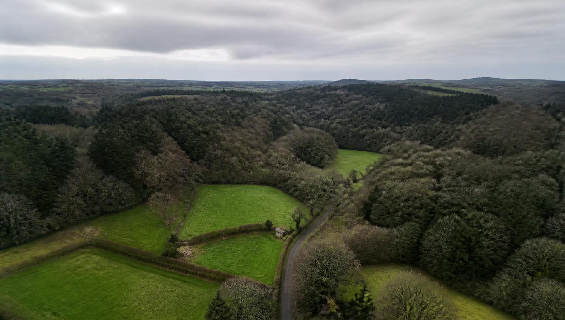
Landscape components
What the area contains
The investigation covers a connected landscape rather than a single site. Surface features, subsurface features and water pathways are all relevant.
Carwynnen
A small settlement south-east of Camborne, best known publicly for the Carwynnen Quoit megalithic monument. The surrounding land is a mix of farmland, woodland and dispersed dwellings, many served by private water supplies.
Troon
A former mining village on higher ground to the south-east. Its history is inseparable from deep hard-rock mining, and the ground beneath the wider parish carries that legacy.
Camborne and the wider district
One of the most intensively mined districts in the world during the 18th and 19th centuries. Shafts, adits and drainage levels are recorded across the district, and many are only partly documented.
Holmans Test Mine
An underground testing facility lying east of a substantial woodland block. Its factual description and the questions it raises are set out on a dedicated page.
Woodland
Substantial woodland blocks including mature and veteran trees, providing habitat for bats, badgers, woodland birds, lichens, bryophytes and fungi.
Streams and springs
Small watercourses and spring lines drain the area. Several properties depend on springs, wells or boreholes rather than mains supply.
Private water sources
Private water supplies are a specific vulnerability: they are rarely monitored routinely, so long-term baseline data is often absent.
Historic mine workings
Shafts, adits, stopes, shallow workings and backfilled features. Positions on modern mapping are frequently approximate.
Farmland
Grazing and arable land in small enclosed fields bounded by Cornish hedges, with land drainage that may itself influence local groundwater behaviour.
Public rights of way
Footpaths and lanes cross the area, meaning members of the public routinely pass through woodland and past watercourses.
Principal investigation location
X-Area Woodland Investigation Zone
Publicly available aerial mapping shows Holmans Test Mine lying east of a substantial woodland block. West and south-west of the facility, community members have outlined an area of woodland and adjoining land in which environmental changes have been reported.
This area is referred to throughout the site as the X-Area Woodland Investigation Zone. Its principal reference coordinate is:
50.1850998, -5.2902908
The area is used to focus survey work, sampling design and ecological assessment. It carries no legal status of any kind.
Status of the area description
What is and is not established
Historic mining terrain
The wider Camborne, Troon and Carwynnen area lies within a historically mined granite and metamorphic aureole terrain with recorded shafts, adits and workings. Established by public geological and mining records.
Private water supplies are present
Properties in the area are served by springs, wells and boreholes rather than mains water. Established by resident accounts and the general pattern of rural supply in the district; individual supplies should be confirmed by Environmental Health records.
Concentration of change in one woodland area
Local people report that observed changes — tree failures, ground depressions and water changes — appear concentrated in and around the X-Area. This pattern has not been independently mapped or verified.
Precise extent of the investigation area
The boundary of the affected area, if there is a defined one, is not established. Determining it requires professional survey, and the working outline should not be treated as evidence of extent.
Why the area matters
Receptors present in the landscape
- Private drinking water supplies
- Springs and spring-fed ponds
- Small watercourses and riparian habitat
- Mature and veteran trees
- Woodland habitat and ground flora
- Bats and their foraging routes
- Badgers and other mammals
- Woodland and riparian birds
- Lichens and bryophytes
- Fungi and soil ecology
- Grazing land and livestock
- Walkers and residents using public rights of way